Neerim South Caravan Park, Your Gateway to Gippsland’s High Country & Baw Baw Adventures
Nestled in the lush, rolling hills of Gippsland, the Neerim South Caravan Park offers a tranquil and picturesque escape at the gateway to the stunning Baw Baw region. This charming, family-owned park provides a peaceful and friendly base for exploring the area’s magnificent forests, scenic drives, and quaint country towns. Surrounded by beautiful established trees and green, open spaces, the park is the ideal destination for families, nature lovers, and anyone seeking a refreshing break from the city, just a 90-minute drive from Melbourne.
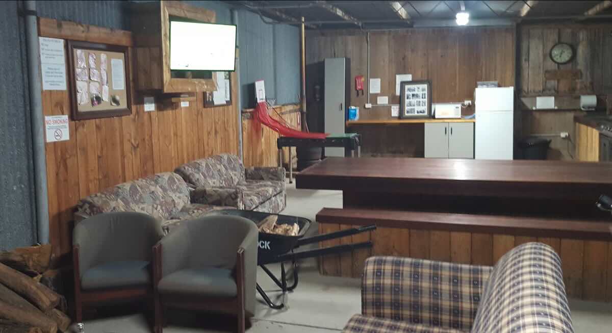
The park is celebrated for its clean, well-maintained facilities and its warm, welcoming atmosphere. It caters to all types of travellers with a range of accommodation options, including spacious powered and unpowered sites perfect for caravans, motorhomes, and tents. For those seeking extra comfort, a variety of self-contained cabins are available. The park is proudly pet-friendly, so your four-legged family members are welcome to join you on your country adventure. A key feature is the park’s embrace of the classic camping experience, allowing campfires in the provided pits, perfect for socialising on a cool evening. With a camp kitchen, clean amenities, and a playground for the kids, it has all the essentials for a comfortable stay.
The location is a fantastic launchpad for discovering the natural wonders of the region. Take a short, scenic drive to the beautiful Toorongo Falls, walk amongst ancient ferns at the Glen Nayook Rainforest, or visit the historic Noojee Trestle Bridge. The area is a haven for foodies, with local wineries, boutique breweries, and farm gates to explore. In winter, the park serves as an excellent off-mountain base for a day of snow play at the Mt Baw Baw Alpine Resort. For a holiday that combines stunning natural beauty with authentic country charm, the Neerim South Caravan Park is a true hidden gem.
Neerim South Caravan Park – VIC Location Map
Park Information
Name: Neerim South Caravan Park
Address: 410 Neerim East Rd, Neerim South VIC 3831
Phone: (03) 5628 1248
Website: Unavailable
GPS Coordinates: -38.0127, 145.99102
Site Details
- Location: Set in the rolling hills of Neerim South, the gateway to the Baw Baw region.
- Site Suitable For: Caravans, motorhomes, camper trailers, and tents. Cabins are also available.
- Road Access: Sealed road access.
- Site Surface: Spacious, grassy sites.
Facilities
- Camp Kitchen & BBQ Area
- Onsite Public Toilets & Showers
- Guest Laundry
- Children’s Playground
- Onsite Dump Point
- Potable Water
- Rubbish Bins
- Good Mobile Phone & TV Reception
Activities & Essentials
- Essentials to Bring: Hiking boots for the forest trails, warm clothing for all seasons, and a camera for the scenic lookouts.
- Pet-Friendly: Yes, the park is pet-friendly for campsites (conditions apply).
- Open Fires: Yes, campfires are permitted in the provided fire pits, subject to local fire restrictions.
- Generator Use: Permitted with consideration for other guests (check with park management for designated hours).
- Fishing: Good opportunities for trout fishing in the nearby Tarago River and other local streams.
- Short Walks: Pleasant walks around the town and nearby reserves. The start of longer hiking trails are a short drive away.
Local Amenities
Pubs
- Kings Arms Hotel, Neerim South: Approximately 4 km
- Noojee Hotel (Noojee): Approximately 20 km
- The Drouin Family Hotel (Drouin): Approximately 25 km
Places to Eat
- The Gilded Lily (Cafe): Approximately 4 km
- Neerim South Hotel Bistro: Approximately 4 km
- Noojee Toolshed (Cafe): Approximately 20 km
Local Attractions
- Toorongo Falls Reserve: Approximately 28 km
- Noojee Trestle Bridge: Approximately 20 km
- Glen Nayook Rainforest Walk: Approximately 15 km
- Mt Baw Baw Alpine Resort (winter snow): Approximately 50 km
- Tarago Reservoir Park: Approximately 20 km
Nearest Caravan Parks
- Rawson Caravan Park (Rawson): Approximately 30 km
- Erica Caravan Park (Erica): Approximately 35 km
Nearest Free Camps
- Toorongo Falls Camping Area (near falls): Approximately 28 km
- Latrobe River Campground (near Noojee): Approximately 35 km
Nearest Dump Points
- Onsite at Park
- Warragul Public Dump Point (Civic Park): Approximately 25 km
Nearest Petrol Stations
- BP Neerim South: Approximately 4 km
- Multiple major stations in Drouin: Approximately 25 km
Drinking Water Resupply
- Onsite at Park
- Neerim South Recreation Reserve.
Nearest Public Toilets
- Onsite at Park
- Neerim South Skate Park Public Toilets: Approximately 4 km
Seasonal Weather Forecast: Neerim South
- Summer (December – February): Warm and pleasant with average maximums around 25°C, offering a cool escape from hotter inland areas.
- Autumn (March – May): Mild, crisp days with beautiful autumn colours in the surrounding forests.
- Winter (June – August): Cold and often wet, with average maximums around 11-12°C. Snow can fall on nearby Mt Baw Baw.
- Spring (September – November): Cool to mild, with the landscape becoming lush and green. Waterfalls are at their best during this time.