Meringtons Campground Free Camp Guide, Thomson VIC
Escape to the rugged beauty of the Victorian high country at Meringtons Campground, a popular free camping area nestled on the banks of the Thomson River. Located deep within the Thomson State Forest, this large, open campground is a favourite destination for 4WD enthusiasts, anglers, and families looking for a remote bush experience. The surrounding area is a gateway to the famous 4WD tracks of the Aberfeldy region and is just a short drive from the historic gold-mining town of Walhalla.
Access to Meringtons is via Meringtons Track, an unsealed road off the Walhalla Road. While it is considered 2WD accessible in dry summer conditions, a 4WD or high-clearance AWD vehicle is highly recommended. The track can become narrow, steep in sections, and extremely slippery after rain, potentially making it impassable for 2WD vehicles. It is not recommended for large caravans unless you have a capable tow vehicle and are experienced with off-road towing.
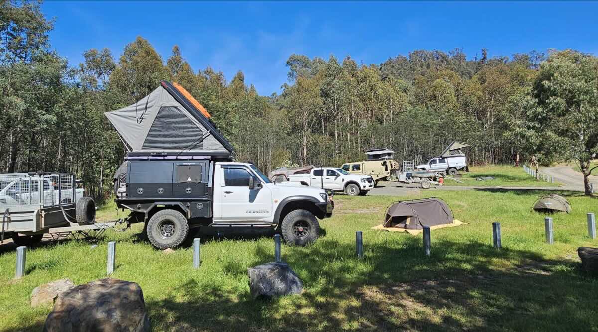
The campground itself is a large, flat, grassy, and dirt area with numerous informal sites. Facilities are basic, consisting of non-flushing (drop) toilets and some picnic tables. This is a fully self-sufficient, ‘Leave No Trace’ site: there is no potable water and no rubbish bins. All campers must bring their own drinking water and take all rubbish home. The site is pet-friendly (on-leash) and allows campfires in designated pits, subject to seasonal fire restrictions.
The Thomson River provides the main attraction, offering excellent opportunities for fishing (primarily trout), kayaking, and swimming in the warmer months. Be aware that this is a remote area with absolutely no mobile phone reception, so a satellite messenger or PLB is advised for safety.
Meringtons Campground – VIC Location Map
Location Details
- Name: Meringtons Campground
- Address: Meringtons Track, Thomson VIC 3825, Australia
- GPS Coordinates: -37.76143, 146.4009
Site Features
- Location: Remote bush camp in Thomson State Forest, on the Thomson River.
- Site suitable for: Tents, swags, off-road camper trailers. 2WD vehicles and small caravans in dry conditions only.
- Road access: 4WD recommended. Unsealed track that is narrow and slippery when wet.
- Site surface: Grass, dirt, and gravel. Can get boggy.
- Camping permitted: Yes, free camping is permitted.
- Maximum overnight stays: As per Victorian State Forest guidelines (typically 28 days).
- Picnic tables: Yes, some available.
- Potable water: No. You must bring all your own drinking water.
- Mobile phone coverage: No. Expect zero mobile service.
- TV reception: No.
- Onsite public toilets: Yes, non-flushing (drop) toilets.
- Rubbish bins: No. This is a strict ‘Leave No Trace’ area. You must take all rubbish with you.
- Open fires: Permitted in designated pits, unless a Total Fire Ban is in effect. Check CFA warnings. Bring your own milled firewood.
- Generator use: Permitted, but please be courteous to other campers.
- Number of sites available: Large, open area with many informal, unpowered sites.
- Essentials to bring: Drinking water, portable toilet (if preferred), rubbish bags, firewood, first-aid kit, and recovery gear.
- Pet friendly: Yes, dogs are permitted on a leash (State Forest rules).
- Fishing: Yes, excellent for trout in the Thomson River.
- Short walks: Yes, along the river and exploring nearby 4WD tracks.
Local Amenities
This is a remote site. The nearest towns for supplies are Walhalla (approx. 20km), Rawson (approx. 30km), and Erica (approx. 35km).
Food & Drink
- Local Pubs: Walhalla Lodge Hotel (‘Wally Pub’, Walhalla, approx. 20km), Stockmans Bar (Rawson, approx. 30km), Erica Hotel Motel (Erica, approx. 35km).
- Places to Eat: Walhalla Witchery Cafe (Walhalla), and the pubs listed above.
Attractions & Activities
- Local Attractions: Historic town of Walhalla, Walhalla Goldfields Railway, Long Tunnel Extended Gold Mine, Thomson Dam Wall (Silvertop Picnic Area), abundant 4WD tracks.
Caravan & Camping
- Nearest Caravan Parks: Erica Caravan Park (Erica, approx. 35km).
- Next Free Camps: Thomson Bridge Campground (near Walhalla), Coopers Creek, Jorgensen’s Flat, O’Tooles Campground.
- Nearest Dump Points: None nearby. The closest free public dump points are in major towns like Traralgon or Moe (approx. 70-80km).
- Nearest Petrol Station: Erica or Rawson (may have limited hours). Nearest major services are in Moe or Traralgon.
- Drinking Water Resupply: No public refill stations nearby. You must bring your own.
- Nearest Public Toilets: On-site. Also available in Walhalla (Main Street).
Seasonal Weather Forecast: Thomson / Walhalla, VIC
This is an alpine/high country region. Weather can change rapidly. Be prepared for all conditions, even in summer.
- Summer (December – February): Mild to warm days, with average highs around 24-25°C. Nights can still be cool.
- Autumn (March – May): Cool and crisp days, with average highs dropping from 22°C to 13°C.
- Winter (June – August): Cold, wet, and often foggy. Average highs are around 10-12°C. Snowfall is possible, and nights are very cold (around 3-4°C).
- Spring (September – November): Cool and variable, with increasing sunshine. Can be very wet.