Bindaree Flat Campground, Free Camping near Craig’s Hut and Bindaree Falls
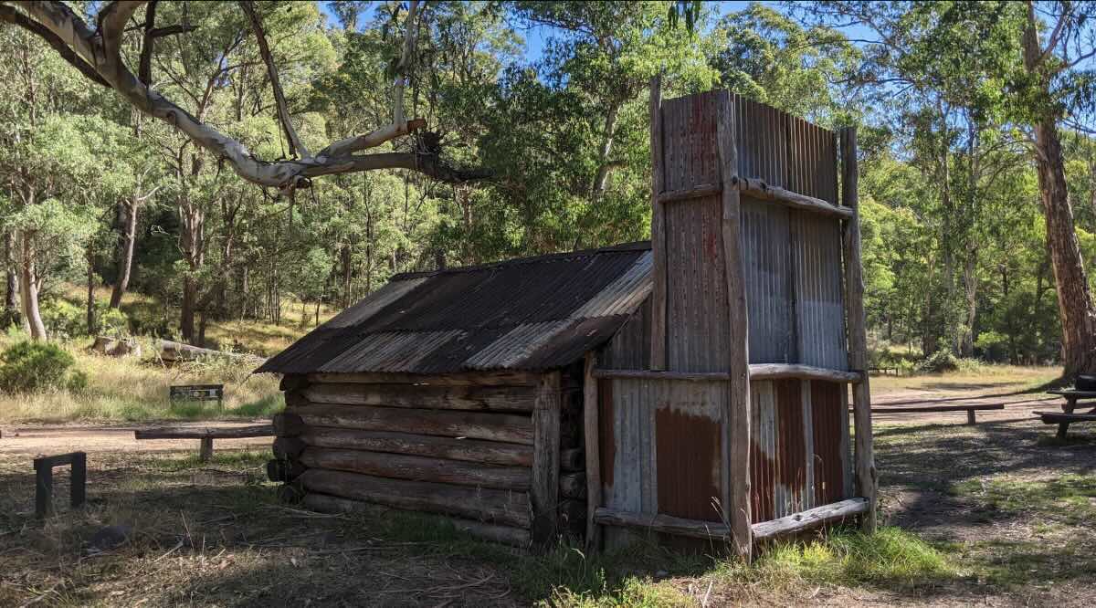
For a truly iconic Victorian High Country experience, few places can match the rugged beauty and historical significance of Bindaree Flat Campground. Located deep within the Alpine National Park, this spectacular free campsite is set on a wide, grassy flat on the banks of the crystal-clear Howqua River. It’s a legendary spot for 4WD enthusiasts, hikers, and anyone looking to immerse themselves in the landscapes made famous by “The Man from Snowy River.” The campground is the primary base for visiting two of the region’s most famous landmarks: the stunning Bindaree Falls, just a short walk away, and the famous Craig’s Hut, a challenging but rewarding 4WD journey further up the mountains.
Reaching Bindaree Flat is an adventure in itself, requiring a 4WD vehicle to navigate the unsealed, and at times challenging, tracks that wind through magnificent mountain ash forests. The reward is a serene and remote setting, with numerous spacious sites perfect for tents, swags, and off-road camper trailers. The campground offers basic but essential facilities, including non-flush toilets and established fire pits for memorable nights under the stars. As it’s located within the Alpine National Park, **pets are strictly prohibited** to protect the sensitive alpine ecosystem and its native inhabitants. Campers must be fully self-sufficient, bringing all their own drinking water, firewood, and supplies, and must adhere to a strict carry-in, carry-out policy for all rubbish. The complete lack of mobile phone reception ensures a true digital detox. With the beautiful Howqua River providing opportunities for fishing and swimming, and a wealth of iconic destinations to explore nearby, Bindaree Flat is a must-visit for any serious High Country adventurer.
Bindaree Flat Campground – VIC Location Map
Campground Information
- Name: Bindaree Flat Campground
- Address: Howqua Track, Alpine National Park, VIC 3723, Australia
- GPS Coordinates: -37.1668548784977, 146.54256054302488
- Website: Managed by Parks Victoria. See the Alpine National Park page for info and track closures.
Features & Facilities
- Location: Remote riverside setting in the Alpine National Park.
- Site Suitable For: Tents and off-road camper trailers. Not suitable for caravans.
- Road Access: 4WD access only, with river crossings. Tracks are subject to seasonal closures (usually June-November).
- Site Surface: Grass and dirt.
- Camping Permitted: Yes, free camping.
- Maximum Overnight Stays: Standard national park limits apply.
- Facilities: Non-flush toilet, picnic tables, fire pits.
- Potable Water: No. Bring your own or treat river water.
- Mobile Phone Coverage: None. Emergency communication device (PLB) is essential.
- Onsite Public Toilets: Yes, a non-flush toilet is available.
- Rubbish Bins: No. A strict carry-in, carry-out policy applies.
- Open Fires: Permitted in designated fire pits only, subject to fire restrictions.
- Generator Use: Strongly discouraged in National Parks.
- Number of Sites Available: Numerous unmarked, dispersed sites.
- Essentials to Bring: All food, water, fuel, recovery gear, emergency communication device, firewood, and rubbish bags.
- Pet Friendly: No. Pets are strictly prohibited.
- Fishing: Yes, trout fishing in the Howqua River.
- Short Walks: Bindaree Falls walking track (starts from the campground).
Local Amenities & Attractions
- Local Pubs:
- Merrijig Motor Inn – approx. 40 km
- Mansfield Hotel – approx. 55 km
- Hunt Club Hotel (Merrijig) – approx. 40 km
- Places to Eat:
- Restaurants and cafes in Merrijig – approx. 40 km
- Extensive dining options in Mansfield – approx. 55 km
- Local Attractions:
- Bindaree Falls
- Craig’s Hut
- Mount Stirling
- Numerous challenging 4WD tracks
Nearby Parks & Services
- Nearest Caravan Parks:
- Howqua Valley Holiday Park – approx. 45 km
- Mansfield Holiday Park – approx. 55 km
- High Country Holiday Park (Mansfield) – approx. 55 km
- Nearest Alternate Free Camps:
- Sheepyard Flat (more 2WD accessible)
- Fry’s Flat
- Pickerings Flat
- Nearest Dump Points:
- Mansfield Public Dump Point – approx. 55 km
- Nearest Petrol Station: Mansfield – approx. 55 km. Essential to carry spare fuel.
- Nearest Drinking Water Resupply: Mansfield.
- Nearest Public Toilets: Available onsite.
Seasonal Weather Forecast
- Summer (Dec-Feb): Mild to warm days with cool alpine nights. Average maximums are around 22°C.
- Autumn (Mar-May): Cool, crisp days and cold nights. The autumn colours are spectacular. Average maximums range from 10°C to 18°C.
- Winter (Jun-Aug): Very cold. Tracks are closed due to snow and hazardous conditions.
- Spring (Sep-Nov): Cool days. Tracks generally reopen in late spring, but can be wet and challenging. Average maximums range from 10°C to 16°C.