Terrawambella Camping Area – Girraween National Park
Terrawambella Camping Area
Address: Girraween, QLD 4382, Australia
Website: parks.qld.gov.au/parks/girraween/camping/terrawambella-trailer-sites
GPS Coordinates: -28.83284, 151.94014
Campsite Details
- Location: Located in the remote southern section of Girraween National Park, Queensland.
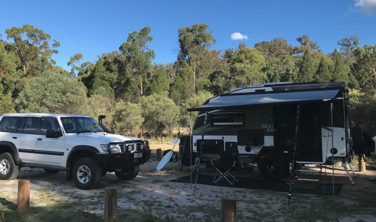
- Site Suitable For: Tents, camper trailers, and small caravans or motorhomes.
- Road Access: High-clearance 4WD is required. Tracks can be rough and may be closed after heavy rain.
- Site Surface: Natural ground, dirt.
- Camping Permitted: Yes, camping permit is required and must be booked in advance.
- Maximum Overnight Stays: Check booking platform for current restrictions.
- Facilities: Non-flush toilets.
- Picnic Tables: Yes, available in the area.
- Potable Water: No, you must bring your own drinking water.
- Mobile Phone Coverage: Unreliable to non-existent. Expect to be offline.
- TV Reception: No.
- Onsite Public Toilets: Yes, non-flush (composting) toilets.
- Rubbish Bins: No. All rubbish must be taken with you.
- Open Fires: Prohibited. Fuel or gas stoves must be used for cooking.
- Generator Use: Prohibited.
- Number of Sites Available: A small number of un-defined sites. Bookings are essential.
- Essentials to Bring: Drinking water, food, fuel stove, rubbish bags, insect repellent, first-aid kit, and warm clothing for cold nights.
- Pet Friendly: No, pets are not permitted in National Parks.
- Fishing: Not a primary activity in this area.
- Short Walks: Serves as a base for remote bushwalking tracks in the southern part of the park.
Local Amenities
The nearest major town for supplies is Stanthorpe.
- Local Pubs:
- The Stanthorpe Hotel, Stanthorpe (Approx. 45-50 km)
- O’Mara’s Hotel, Stanthorpe (Approx. 45-50 km)
- Country Club Hotel, Stanthorpe (Approx. 45-50 km)
- Places to Eat:
- Various cafes, bakeries, and restaurants in Stanthorpe (Approx. 45-50 km)
- Local Attractions:
- Girraween National Park Main Section (Pyramids, The Sphinx) (Approx. 15-20 km)
- Granite Belt Wineries (Various distances, starting around 30 km)
- Bald Rock National Park (across the border in NSW) (Approx. 40 km)
- Nearest Caravan Parks:
- Girraween Environmental Lodge (Private) (Approx. 18 km)
- Sommerville Valley Tourist Park (Approx. 35 km)
- Next Free Camps:
- Donnelly’s Castle, near Pozieres (Approx. 60 km)
- Nearest Dump Points:
- Stanthorpe Showgrounds, Stanthorpe (Approx. 45-50 km)
- Nearest Petrol Station:
- Ballandean (Approx. 30 km) or Stanthorpe (Approx. 45-50 km)
- Drinking Water Resupply:
- Stanthorpe Visitor Information Centre (Approx. 45-50 km)
- Public Toilets:
- Bald Rock Creek day-use area, Girraween National Park (Approx. 15 km)
- Stanthorpe town centre (Approx. 45-50 km)
Seasonal Weather Forecast
Girraween National Park experiences four distinct seasons. Always be prepared for sudden weather changes.
- Summer (Dec-Feb): Warm to hot days, often with afternoon thunderstorms. Average temperatures range from 15°C to 28°C.
- Autumn (Mar-May): Mild, sunny days and cool nights. Ideal walking weather. Average temperatures range from 8°C to 22°C.
- Winter (Jun-Aug): Cold and crisp. Days are often clear and sunny, but nights are very cold with heavy frosts. Temperatures can drop below 0°C. Snowfall is rare but possible.
- Spring (Sep-Nov): Cool to warm with increasing rainfall. This is the peak season for wildflowers, which carpet the park in colour.