New Chum Flat Free Camping, Buckland VIC
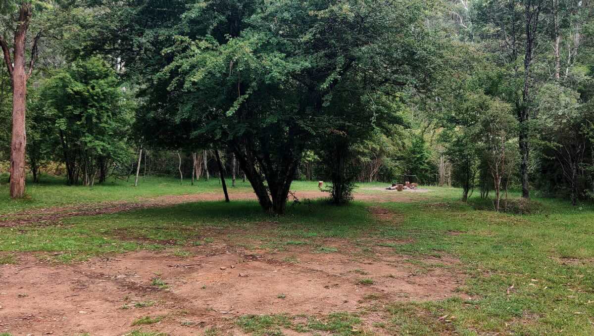
Discover the raw allure of the Victorian High Country at New Chum Flat, a secluded free camping area located deep within the historic Buckland Valley. Like its neighbouring campsites, New Chum Flat offers an unparalleled off-grid experience on the edge of the pristine Buckland River. This spot is a haven for self-sufficient campers, 4WD enthusiasts, and anyone looking to disconnect and find solitude amidst spectacular mountain scenery. The spacious, grassy flat provides a comfortable base to set up camp, surrounded by the towering eucalypts of the state forest.
The campsite’s prime riverside location is its biggest drawcard. The clear, cool waters of the Buckland River are perfect for swimming, fishing for trout, or simply enjoying the tranquil sounds of nature. The area is steeped in gold rush history, and remnants of the past can be found by those keen to explore. For the more adventurous, New Chum Flat serves as an excellent launchpad for tackling the challenging 4WD tracks that crisscross the region, leading to incredible lookouts and remote wilderness areas. The abundant wildlife, starry nights, and the sense of being truly away from it all are what make this place so special.
Camping at New Chum Flat requires complete self-sufficiency. There are no toilets, no bins, and no potable water, reinforcing the ‘leave no trace’ principle that is vital to preserving this pristine environment. Access is via the Buckland Valley Road, a dirt track that includes several river crossings and can be challenging for vehicles without high clearance and 4WD capabilities, particularly in wet conditions or during winter. For those properly equipped, New Chum Flat is a rewarding destination that promises a genuine connection with nature and a memorable High Country adventure.
New Chum Flat Free Camping – VIC Location Map
Location: New Chum Flat, Buckland Valley Road, Buckland, VIC 3740
GPS Coordinates: -36.9270, 146.9198
Location Map
Campsite Information
- Site Suitable For: Tents, swags, off-road camper trailers. Access may be difficult for anything larger.
- Road Access: High-clearance 4WD is essential. The track involves multiple river crossings and can be rough and impassable after rain or during winter.
- Site Surface: Grass and dirt.
- Camping Permitted: Yes, free camping is permitted.
- Maximum Overnight Stays: No specified limit.
- Facilities: None. This is a completely primitive campsite.
- Potable Water: No. Bring all your own water or be prepared to treat river water.
- Mobile Phone Coverage: None. An emergency communication device (e.g., PLB or satellite phone) is highly recommended.
- TV Reception: None.
- Onsite Public Toilets: No. A portable toilet is mandatory. Please do not pollute the environment.
- Rubbish Bins: No. You must pack out everything you bring in.
- Open Fires: Permitted in existing fire pits, subject to local fire restrictions and total fire bans. Use firewood sparingly and bring your own.
- Generator Use: Permitted, but be mindful of the noise impact on the natural serenity and other campers.
- Number of Sites Available: A good-sized flat area that can accommodate several groups while maintaining distance.
- Essentials to Bring: Drinking water, portable toilet, rubbish bags, firewood, 4WD recovery equipment, tyre management tools, a well-stocked first-aid kit, and an emergency communication device.
- Pet Friendly: Yes, dogs are permitted on a leash in Victorian State Forests.
Local Area & Amenities
- Fishing: Yes, the Buckland River holds a population of trout. A Victorian Fishing Licence is required.
- Short Walks: Numerous informal trails and tracks to explore along the river and into the forest.
- Local Pubs:
- Punkah Pub (Porepunkah): ~38 km
- Bright Brewery (Bright): ~43 km
- Wandi Pub (Wandiligong): ~48 km
- Places to Eat:
- Porepunkah (Pub, cafes, bakery): ~38 km
- Bright (Wide selection of dining options): ~43 km
- Local Attractions:
- Access to Alpine National Park 4WD tracks.
- Mount Buffalo National Park: ~50 km (to entrance).
- The tourist town of Bright: ~43 km.
- Nearest Caravan Parks:
- Porepunkah Bridge Holiday Park: ~38 km
- Various caravan parks in Bright: ~43 km
- Next Free Camps:
- Other flats along the Buckland Valley Road (e.g., Leinster Flat, Ah Youngs).
- Campsites along the Ovens River.
- Nearest Dump Points:
- Bright (Centenary Park): ~43 km
- Myrtleford (Showgrounds): ~63 km
- Nearest Petrol Station: Porepunkah (~38 km) and Bright (~43 km).
- Drinking Water Resupply: Fill up in Porepunkah or Bright.
- Public Toilets: Available in Porepunkah and Bright.
Seasonal Weather Forecast
- Summer (Dec-Feb): Warm to hot days, but temperatures drop significantly overnight. Average temperatures: 12°C to 28°C.
- Autumn (Mar-May): Cool, clear days and cold nights. A spectacular time to visit for autumn foliage. Average temperatures: 5°C to 20°C.
- Winter (Jun-Aug): Very cold with severe frosts and high chance of snow. Access is often impossible due to weather and seasonal track closures. Average temperatures: 0°C to 12°C.
- Spring (Sep-Nov): Cool and unpredictable weather. The river runs high and fast from snowmelt. Average temperatures: 4°C to 18°C.