Red Box Campsite, Cathedral Range State Park
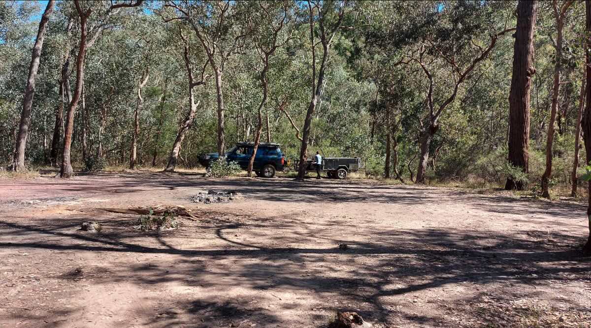
Red Box Campsite is a primitive bush camp for the dedicated hiker, offering a truly immersive and self-sufficient experience in the magnificent Cathedral Range State Park. This is not a drive-up destination; it is a walk-in campsite located along the remote Little River Track, deep within the park’s rugged northern section. The campsite is a small, simple clearing set amongst a beautiful forest of peppermint and box eucalypts, providing a tranquil and isolated spot to rest after a day on the trails. Its primary purpose is to serve as an overnight stop for those undertaking multi-day hikes through the park, allowing walkers to break up their journey and sleep under the stars in a spectacular natural setting.This campground embodies the ‘leave no trace’ ethos and is strictly for those who are prepared for a complete lack of amenities. There are no facilities whatsoever—no toilets, no water, no fireplaces, and no bins. Campers must carry in everything they need, including a fuel stove for cooking (fires are not permitted), a portable toilet system, all drinking water, and the means to carry out every piece of rubbish. As it is situated within a State Park, dogs and other pets are strictly forbidden to protect the fragile ecosystem and its native inhabitants, which include kangaroos, wallabies, and a rich variety of birdlife. The reward for this level of self-reliance is an unparalleled sense of solitude and a direct connection to the wild beauty of the Cathedral Ranges. It’s a place to be truly alone with your thoughts, surrounded by the sounds of the bush, before continuing your hiking adventure the next day.
Red Box Campsite – VIC Location Map
- Name and Address: Red Box Campsite, Little River Road, Taggerty, VIC 3714, Australia
- GPS Coordinates: -37.51868616319502, 146.62205162686976
- Website: Parks Victoria – Cathedral Range State Park
Campground Information & Features
- Location: In the northern, more remote section of the Cathedral Range State Park.
- Site Suitable For: Tents only (hike-in).
- Road Access: Park roads are 2WD accessible to nearby trailheads, but the campsite itself is walk-in only.
- Site Surface: Natural forest clearing.
- Camping Permitted: Yes, free dispersed camping for hikers.
- Maximum Overnight Stays: Standard park regulations apply.
- Facilities: None.
- Potable Water: No. You must carry in all your water.
- Mobile Phone Coverage: Unlikely. Very poor to non-existent in this part of the park.
- Onsite Public Toilets: No. A portable toilet system or proper bush toileting methods are required.
- Rubbish Bins: No. All rubbish must be carried out.
- Open Fires: Prohibited. This is a fuel stove only area.
- Generator Use: Prohibited.
- Number of Sites Available: A small area suitable for a few hiking tents.
- Essentials to Bring: All water, food, fuel stove, tent, sleeping gear, PLB/sat phone, detailed maps, first-aid kit.
- Pet Friendly: No. Pets are not permitted in Cathedral Range State Park.
- Fishing: Not applicable.
- Short Walks: This campsite is located on longer hiking trails; it is not a destination for short walks.
Nearby Amenities & Attractions
- Local Pubs:
- Buxton Hotel/Pub – Approx. 15 km
- Taggerty Hotel – Approx. 20 km
- Black Spur Inn (Narbethong) – Approx. 25 km
- Places to Eat:
- Buxton (Pub, takeaway, bakery) – Approx. 15 km
- Marysville (Numerous cafes, bakeries, pubs) – Approx. 25 km
- Alexandra (Wide range of options) – Approx. 35 km
- Local Attractions:
- Cathedral Range Northern and Southern Circuits (hiking)
- Sugarloaf Peak and The Razorback hikes
- Steavenson Falls (Marysville) – Approx. 25 km
- Nearest Caravan Parks:
- Buxton Mountain View Caravan Park – Approx. 15 km
- Marysville Holiday Park – Approx. 25 km
- Alexandra Tourist Park – Approx. 35 km
- Next Free Camps:
- Cooks Mill Campground (fees apply) – Approx. 10 km south
- Keppel Creek Camping Area (Rubicon Valley) – Approx. 20 km (4WD)
- Nearest Dump Points:
- Marysville – Approx. 25 km
- Alexandra – Approx. 35 km
- Nearest Petrol Station:
- Buxton – Approx. 15 km
- Marysville – Approx. 25 km
- Drinking Water Resupply:
- Marysville or Alexandra are the nearest towns with reliable public taps.
- Nearest Public Toilets (offsite):
- Cooks Mill Campground – Approx. 10 km
- Neds Gully Campground – Approx. 12 km
Seasonal Weather Forecast: Cathedral Range Area
- Summer (Dec-Feb): Days can be very hot and dry. High bushfire risk. Hiking can be strenuous. Carry plenty of water.
- Autumn (Mar-May): Generally the best time for hiking, with mild, clear days and cool nights.
- Winter (Jun-Aug): Cold and often wet. The rocky peaks can be slippery and hazardous. Snowfall is possible on the highest peaks.
- Spring (Sep-Nov): A beautiful time for wildflowers. Weather can be very unpredictable, with a mix of warm sunshine, rain, and even snow.